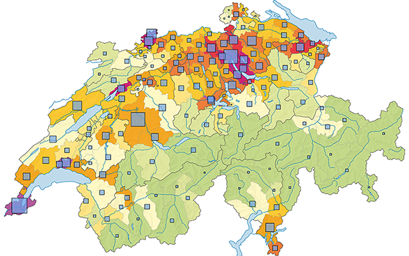
Modern and up-to-date: The Statistical Atlas of Switzerland is always available to provide you with a summary of captivating regional issues covering all FSO topics, either in figures or in visual form.
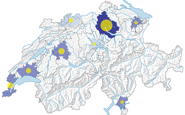
The Statistical City Atlas visualises the key figures of Switzerland’s largest cities. Maps are available for different spatial units: larger urban zone, core city and neighbourhoods.
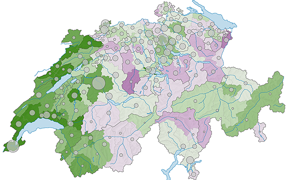
Are you interested in National Council elections or federal popular votes? The Political Atlas of Switzerland contains the results of National Council elections since 1919 and of popular votes since 1986.
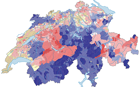
This atlas presents a collection of maps produced from federal population census data from 1850 onwards. It is an integral part of the online publication “To count and be counted in Switzerland”. The maps detail information at communal level and allow observation of more than a century and half of change in Switzerland with unprecedented spatial resolution.
To mark the 100th anniversary of its publication, the Federal Statistical Office has published a complete reproduction of this impressive and rare work. In doing so, the FSO aims to make the atlas accessible to the wider general public.
This atlas is published simultaneous with the 125th edition of Switzerland’s Statistical Yearbook. Many of the attractive illustrations from the early days of the Statistical Yearbook are faithfully reproduced in this volume.
Our English pages offer only a limited range of information on our statistical production. For our full range please consult our pages in French and German (top right hand screen).