
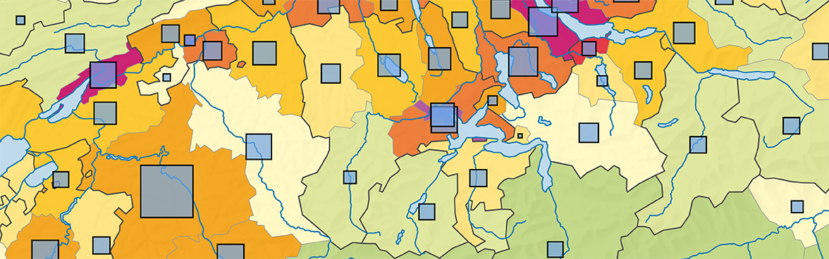
The Statistical Atlas of Switzerland gives you an up-to-date and permanently available overview of captivating regional issues covering all FSO themes. It is continually updated and freely available at all times. A user-friendly browser interface divided into 21 chapters enables you to discover spatial disparities and relationships, visually or in numbers. To enable users to make comparisons, many of the maps are available in different displays and geographical units down to the level of municipalities. The chapter «International» which has been recently integrated into the Statistical Atlas of Switzerland puts Swiss figures in an international context and enables the differences between European countries to be analysed. For ease of use, practical user instructions are available for the Atlas.
Offer
Topics and direct access
- Where is the population size increasing and where is it falling?
- How many agricultural holdings are there and how many hectares of utilised agricultural area are farmed?
- Are there urban "centres" with concentrated crime?
- How high is unemployment throughout Europe?

