
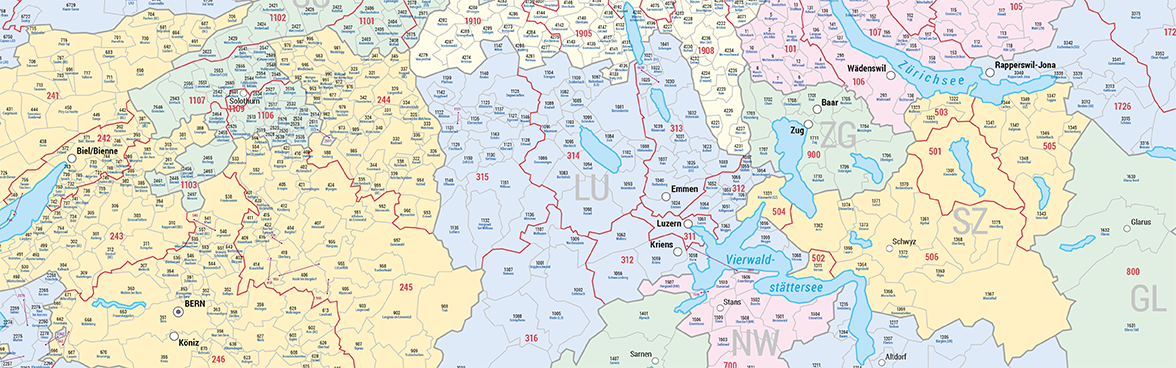
As part of its cartographic documentation of the official spatial divisions, the FSO Thematic Cartography unit also produces a large-format general map of Switzerland that is updated annually. Map content:
- Names of communes, FSO codes assigned to communes and districts
- Communal and cantonal boundaries, exclaves and lakes
- Overview map of districts
- Large towns and cantonal capitals
Since 2003, the map of the institutional divisions is updated periodically and published at the end of the year for the following year.

