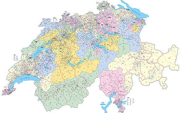
Maps updated every year in large format available as a printed poster or PDF. Maps are available in the following spatial divisions: Communes and districts (incl. the official FSO numbers and names) and cantons.
Our English pages offer only a limited range of information on our statistical production. For our full range please consult our pages in French and German (top right hand screen).