Maps

Maps

Introduction

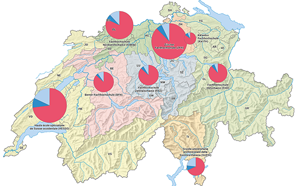
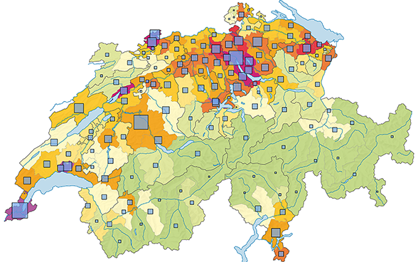
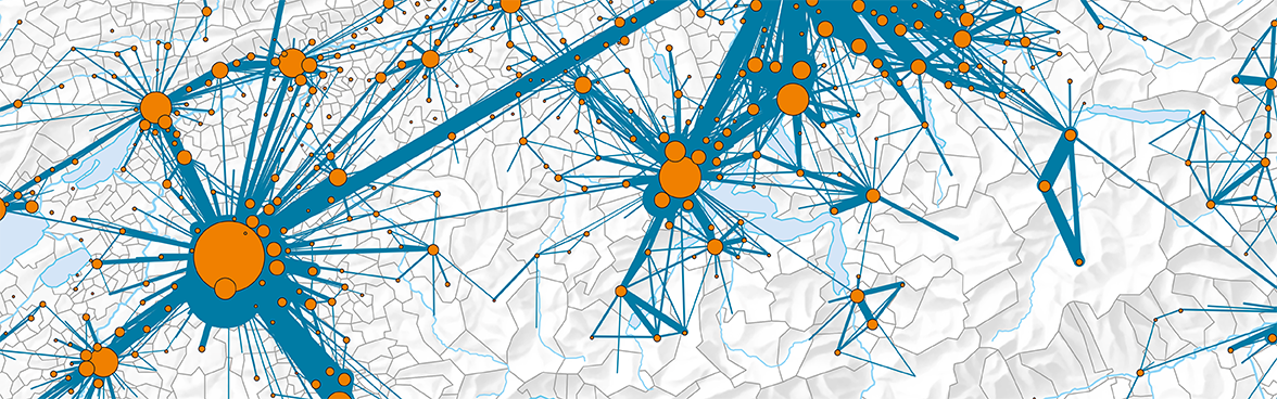
Today maps are a key element in the publications the FSO produces in fulfilling its mandate to provide statistical information. Maps are used in specialist publications, in the Swiss Statistics portal and in atlases to address diverse geospatial statistical subjects. Complex statistical matter is visually depicted so that it is clear and understandable for a wide audience.

ThemaKart

ThemaKart Services

ThemaKart is the central office for thematic cartography and provides a wide range of cartographic services for both the FSO and its customers.

Regionalstatistik

Regional statistics

The diversity of the thematic cartography can be seen in the FSO's numerous online and print publications. Unique display methods are used to visualise regional differences and contexts.

Contact

Federal Statistical Office Service ThemaKart
Espace de l'Europe 10
CH-2010 Neuchâtel
Switzerland

Contact

https://www.bfs.admin.ch/content/bfs/en/home/dienstleistungen/karten.html